
PRECISION INSPECTIONS & CONSULTING
Our Services
Our Capabilities
DPW Inspections leverages cutting‑edge technology and tactical aerial and submersible assets to deliver precision inspections using; non‑destructive testing, and actionable condition assessments across municipal, industrial, residential, marine, and energy industries.
Unmanned Aerial Solutions (Drone Services)
- FAA Part 107 licensed pilots
- Visual & thermal assessments on property assets.
- Precision 3D modeling and topographical mapping
- Construction site monitoring & progress mapping
- Infrastructure Inspections
- Wildlife non invasive population assesment
- Thermal Imaging
Water Tank Inspection & Coating Services
- Internal Coating Integrity Assessment & Reporting
- Surface Coating Integrity Diagnostics & NACE-Certified Visuals
- Rapid Response Damage Analytics for Municipal Infrastructure
- ROV Internal Inservice Inspections
- On Site Shop Inspections via NACE certified Inspectors
Manned Aviation & Fixed-Wing Operations
- Large-Scale Aerial Photography for wide-area site projects
- Linear Infrastructure Patrols for pipelines and power transmission lines
- Environmental monitoring and technical surveillance across vast distances
Water Tank Inspection & Coating Services
Precision integrity auditing and coating diagnostics for municipal and industrial water storage assets.
We deliver expert NACE/AMPP certified coating inspections and assessments for municipal and industrial water tanks. Using advanced drone, ROV, and non-destructive testing technologies, we provide safe, efficient inspections with minimal downtime and zero confined-space entry risks.
Our detailed reports ensure ANSI/AWWA compliance and support smart maintenance decisions that protect your most vital infrastructure assets.


Unmanned Aerial Solutions (Drone Services)
We provide professional FAA Part 107 certified drone inspections and aerial intelligence for residential, commercial, industrial, and municipal clients. Using high-resolution imaging, thermal diagnostics, 3D mapping, and photogrammetry, we deliver fast, safe, and highly detailed data without the risks or downtime of traditional methods.
Our advanced unmanned solutions help you inspect rooftops, infrastructure, pipelines, construction sites, and more with precision and efficiency.
Manned Aviation & Fixed-Wing Operations
DPW Inspections provides specialized aerial assessments and wide-area infrastructure patrols. Our fixed-wing aviation services capture large-scale industrial landscapes and critical environmental data with technical precision.

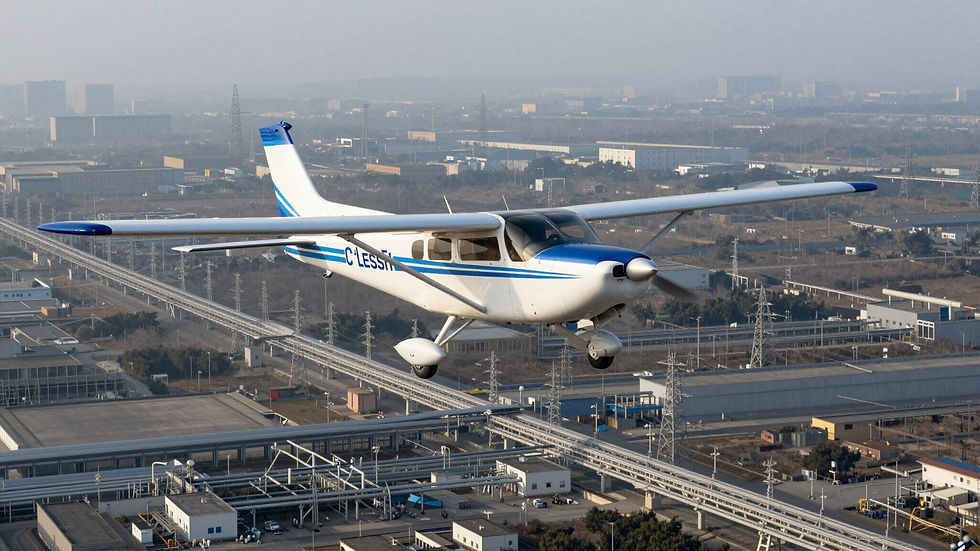
Comprehensive visual documentation for mapping vast industrial landscapes, municipal site projects, and vertical infrastructure assets requiring wide-area intelligence.
Large-Scale Aerial Photography
Specialized monitoring and technical surveillance of linear asset corridors including pipelines, power transmission lines, and fiber optic right-of-ways across thousands of miles.